CloudFerro supports ESA project for the Philippines


The European Commission and the European Space Agency have started CopPhil project aimed at increasing the uptake of the Copernicus Earth observation data in the Philippine region to reduce the vulnerability of Philippine population and ecosystems. It will support the adoption of advanced technology to help local public administration, institutions and companies prevent natural disasters, protect the environment, and manage national resources. The project involves three elements: developing a Copernicus Mirror Site located at the premises of the Philippines Space Agency in Manila, carrying out pilot services, and providing technical assistant. CloudFerro is providing IT infrastructure for the satellite data repository for the project.
Copernicus is the European Earth observation (EO) programme that allows for monitoring our planet from space, providing free and open data generated mainly by the Sentinel constellation’s satellites designed specifically for this purpose. It significantly increases capabilities to take better informed actions in many areas, such as emergency management, health care, agriculture, the environment, and many more, having a crucial impact on society, climate, and economy. Copernicus provides vital support to international and national organizations, public administrations and developers of applications based on satellite data.
The European Space Agency (ESA) and the European Commission have started the CopPhil project aiming to enhance the Philippines' ability to manage natural resources and improve disaster preparedness using satellite data from the Copernicus programme. Philippine authorities, organizations and businesses will be able to use the full potential of this data to better manage key areas of national interest. The main objective of the CopPhil project is to increase the uptake of Copernicus data and improve data management by Philippine stakeholders.
The major part of the project is the Copernicus Mirror Site that will be provided by the Polish company CloudFerro. This repository of data for the Philippines area will be a copy of the Copernicus data that will be made available through a new fully scalable platform planned to be launched by 2025. CopPhil initiative will develop tools and services for using open Earth observation data and geospatial technology.
Artur Bargieł, Project Manager at CloudFerro:
As a strategic partner of ESA, we are providing IT infrastructure for data storage and accessibility in CopPhil. In cooperation with our partners Urbetho CF and Indra, we will also perform onsite and online trainings on processing Copernicus data using cloud resources and advanced tools. We are confident that through the project all parties will mutually benefit in many areas: crisis management, coastal monitoring, climate change mitigation and many more.
To demonstrate operational aspects of processing the data, CophPhil also includes three pilot projects in line with the priorities of nationally mandated stakeholders such as ground motion monitoring, land cover, forest and crop mapping, and benthic habitat monitoring. These priorities align with the broader goals of disaster risk reduction and management, climate change adaptation, environmental protection, and food security.
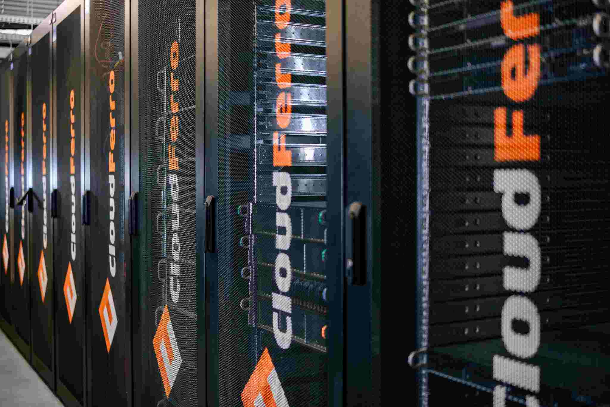
After a series of training sessions and pilot projects are completed, the CopPhil platform and infrastructure will be handed over to be managed by the Philippine Space Agency. Authorized individuals and institutions will have access to Sentinel satellite data and advanced processing tools that will be located in a private cloud provided by CloudFerro, with resources expected to reach 400 TB. The technical infrastructure is being built at the Philippine Agency's headquarters in Manila.
Pawel Markowski, IT Systems Architect & Development Director at CloudFerro
The solutions provided by CloudFerro allow for efficient distribution of large data collections in a controlled cloud environment. Thanks to the effective combination of opensource tools and the provision of software that is optimised in terms of discovery, cataloguing and serving Earth observation data, we have been able to build a dedicated platform in the Philippines. The solution will be an active copy storing a sub-set of EO data, acquiring data from the Copernicus Dataspace Ecosystem in a continuous manner
Geographically, the CopPhil initiative will cover the entire Philippines, including islands and offshore areas resulting in a total of more than 1.8 million square kilometres and more than 109 million people. This is extremely important for the region, as the climate in the Philippines is affecting the citizens more than in other parts of the world. Violent and unpredictable weather events are already ruining the lives of millions of people and negatively impact the agriculture-based economy. In the future the areas prone to high temperatures and flooding might trigger mass climate emigration. Acquiring vast data on forest ecosystems, the quality of crops as well as the state of land, ocean or rivers and using it in the CopPhil project will increase the ability to respond to negative events and impacts in the future.
The CopPhil project is being implemented as part of the EU's Global Gateway strategy, which aims to invest in infrastructure around the world in the areas of digitization, energy, and transportation along with social, environmental standards and the values of the European Union. With these investments, the European community is opening up opportunities for the member states’ private sector to invest and remain competitive in the regions of the world that are new to them. CopPhil is the first initiative of its kind in Southeast Asia.


