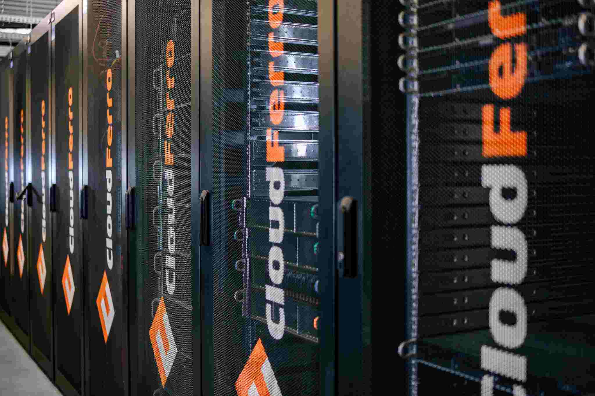
CloudFerro contributes to ESA’s DUNIA project for Africa


CloudFerro carries out a project for ESA that aims to enhance EO data accessibility for African nations.
The European Space Agency, in collaboration with its partners – GeoVille, CloudFerro, CS Group Romania, CS Group France, and DLR – has unveiled the DUNIA project aiming to enhance Earth Observation Data accessibility for African nations. This endeavour reinforces the dedication to aid the digital evolution in line with the African Union's 2063 Agenda. It is expected that DUNIA will support research in agriculture, urbanization, climate change, and resource management by providing cloud services integrated with the main Copernicus Programme data repository.
Despite the vast amount of Earth observation data available, African territory is less researched in comparison to other regions of the world. The Sentinel satellites of the Copernicus Programme capture astounding 1.2 petabytes of data about the continent annually. This translates to over 1,000 daily images, which can greatly assist African nations in optimizing resource management, addressing challenges like climate change, infrastructure management, agriculture planning, urbanization, and pollution. The African Union Commission in African Union's 2063 Agenda acknowledges the immense value of Earth observation in bolstering sustainable growth in Africa. It emphasizes the significance of satellite data in monitoring Africa's rich natural reserves. Currently, there is an urgent need to bridge the existing gap concerning essential infrastructure and crucial human resources to tap into the potential benefits from sustainable utilization and preservation of these assets.

To support the continent in achieving this objective, the European Space Agency ESA has launched DUNIA project. European companies providing Earth Observation services are taking an active role in it by developing a platform that offers Earth observation data, user interfaces, documentation, and reporting, alongside cloud-based data processing capabilities.
The project is delivered by a consortium composed of GeoVille Information Systems and Data Processing GmbH (prime contractor), CloudFerro, CS Group Romania, CS Group France, and DLR. The consortium delivers the solution by supplying infrastructure tools, creating mobile-friendly interfaces, and designing an intuitive web platform. Moreover, the contactors will provide comprehensive support to DUNIA users through engineering assistance, custom training sessions, and webinars to further enrich the Earth Observation community in Africa.
CloudFerro will provide cloud services together with the company’s cloud environment, access to satellite data repositories and an Identity Access Management system. As a result, CloudFerro’s platforms and resources designed for Earth Observation data processing will be tailored to respond to the specific needs of DUNIA project users.
Our involvement in the DUNIA project fills us with immense pride, given its pivotal role in advancing Africa's development, encompassing not just the environmental and economic spheres but also the social dimension. We support this initiative with our technological platforms and resources as we draw from our expertise in the European Earth observation Copernicus Programme. The project does pose challenges, particularly in the African regions where internet connectivity is a real constraint. We are confident that DUNIA, along with the access to satellite data from the Copernicus Programme, will bring new opportunities to African nations.
- Marcin Białecki, EO Product Manager at CloudFerro.
The DUNIA project aspires to promote the adoption of Earth Observation services and affiliated space tech in Africa. It is steered by the specific needs of its users and envisions a digital future for Africa, promoting intercontinental R&D collaborations. It aims to energize the research community and foster innovative processes, enhancing the Earth Observation satellite data usage and the development of the African continent. With a focus on increasing satellite data accessibility and usability in Africa, the project offers open access to Copernicus Sentinel data. It also presents solutions that simplify Copernicus data interpretation and reduce entry barriers.
The duration of the project is estimated for 3 years.
If you have any query, contact us. Our experts will be happy to assist you.
We will answer all your questions as soon as possible.


