


Copernicus Data Space Ecosystem


One of largest public EO data repositories in the world, with outstanding discovery and download capabilities, and a set of data processing tools.
Copernicus Data Space Ecosystem is one of the biggest repositories of open and free Earth observation data in the world. It includes both new and historical Sentinel, Landsat, SMOS imagery, as well as the Copernicus Contributing Missions data immediately available for downloading, streamlining and on-demand processing. Users can use all the functionalities of the system free-of-charge, with some predefined quotas. However, downloading and processing data on a large scale can be done on a commercial basis.
The challenge - unlocking the potential of EO data in Europe
The Copernicus programme is the Earth observation component of the European Union Space programme. With systematic monitoring over large areas, good quality of data plus a clear and simple open data policy, it provides one of the largest open satellite imagery repositories in the world. Copernicus delivers global data from satellites and ground-based, airborne and seaborne measurement systems, supporting international and national organizations, authorities, service providers in taking well informed decisions and conducting policies in many areas.
The European Commission (EC) observed an increased demand for Earth observation data that is being more and more widely used in various sectors of the economy. That is why, it decided to invest in the next level of user data processing and distribution infrastructure, announcing a new Copernicus Data Access Service initiative. The new system supports long-term strategies that the European Commission adapted in the last years to ensure a sustainable growth and benefits to all European citizens.
The solution
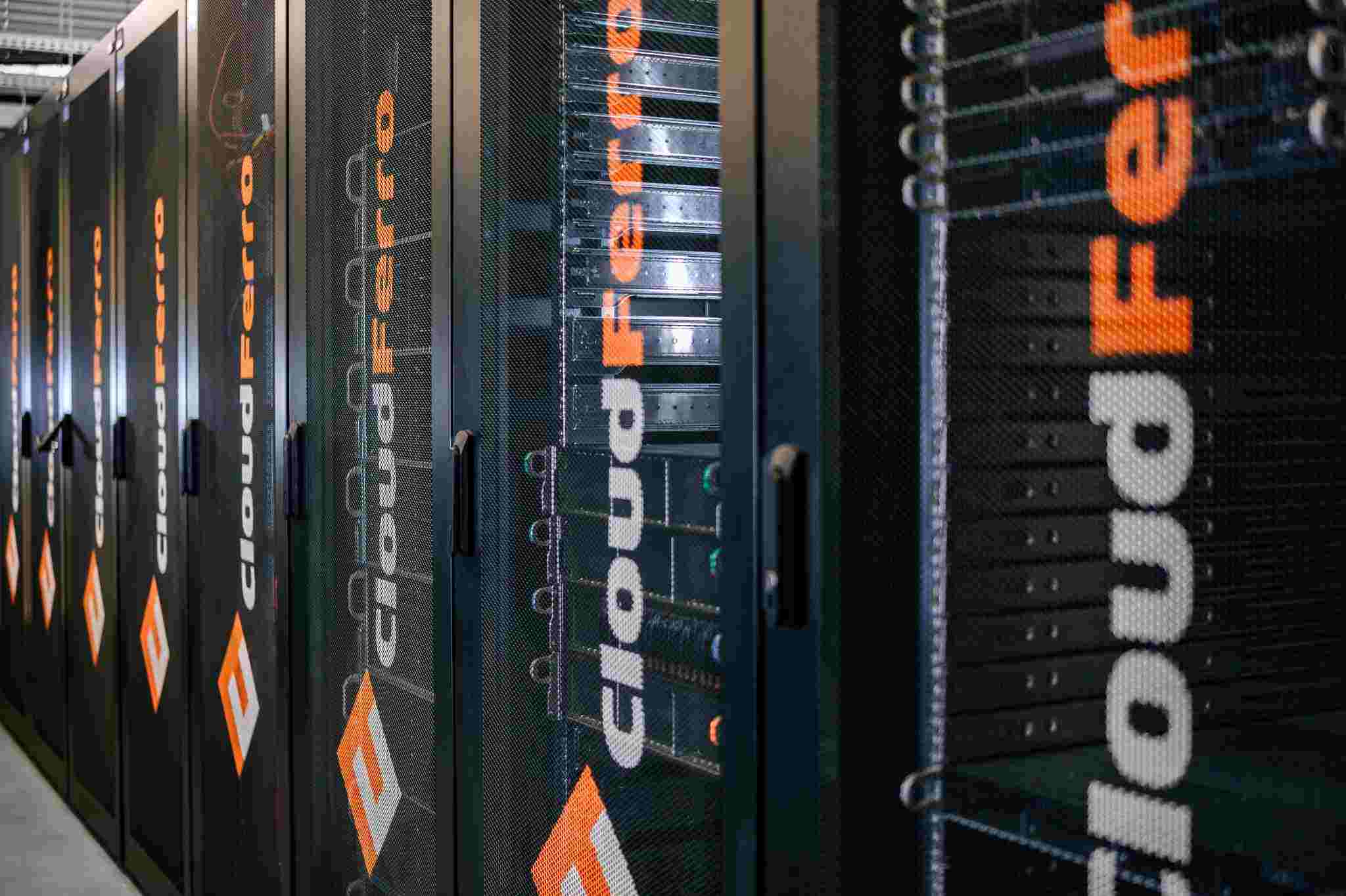
A consortium of European cloud and Earth observation service providers was chosen to build and operate a new service: T-Systems (leader),CloudFerro,Sinergise, VITO, DLR, ACRI-ST, and RHEA. The Copernicus Data Space Ecosystem was launched in January 2023 to provide one of the largest EO data offering in the world, with outstanding discovery and download capabilities, and a set of data processing tools, and is being continuously developed. The partners have been working under a close guidance of ESA, which guarantees full compliance with the objectives set by the European Commission. Most importantly, all the data is hosted in the European territory and the system’s infrastructure is operated by European cloud providers.
The Copernicus Data Space Ecosystem replaced the Copernicus Open Access Hub, and has become the main data dissemination endpoint of the European Space Agency (ESA).
The new system will also ensure interoperability with the Destination Earth future data infrastructures as well as other initiatives within EO domain. The new system grants instant access to all Copernicus data online in one place, already covering more than 50 PB of archive and current Earth observation data, and is estimated to grow to over 100 petabytes within 6 years.


The most important benefits:
Largest EODATA collection
Access to largest EO data collection available instantly online
Browser
Browser for easy discovery, visualization, download, and analysis
Rich interfaces and API
Intuitive user tools for searching and processing of EO data, interactive and through API
Tools & applications
Clear access to a set of tools and applications for the processing of vast amounts of Earth observation data
Open Data Space
The Data Space is open for third-parties who would like to contribute with a new dataset, algorithm/processor or a service on commercial or open-source conditions.
Commercial services
Additional services on commercial basis (e.g. on CREODIAS)
Visit Copernicus Data Space Ecosystem platform on dataspace.copernicus.eu to explore EO data and tools.
Satellite data
Earth observation data in the Copernicus Data Space Ecosystem is open, public, and free.
The Ecosystem gathers satellite data from Sentinel, Copernicus Contributing Missions (CCMs), selected products from Copernicus Services, and other missions (Landsat, SMOS, Jason-3).
- Sentinel-1 - C-band synthetic aperture radar
- Sentinel-2 - utilizes wide-swath, high-resolution, multi-spectral imaging for monitoring of changes on the Earth's surface.
- Sentinel-3 - measures sea surface topography, sea and land surface temperature, and ocean and land surface colour for ocean forecasting systems, environmental monitoring, and climate monitoring.
- Sentinel-5P - a precursor mission which is the first Copernicus mission that focuses on monitoring our atmosphere (such as e.g. ozone, sulphur dioxide, nitrogen dioxide, carbon monoxide, formaldehyde, cloud & aerosol) using TROPOspheric Monitoring Instrument (TROPOMI).
- Copernicus Contributing Mission - multiple collections accessible for discovery, viewing, browsing, and downloading of Optical HR and VHR European coverages, Digital Elevation Models on regional and global scales, and Sea Ice monitoring.
- Complementary data including high-resolution satellite imagery from various providers and data offerings from specialized Copernicus Services - Copernicus Services for Land Monitoring (CLMS), Marine Environment monitoring (CMEMS), Emergency Management (MEMS), Atmosphere monitoring (CAMS), the Soil Moisture and Ocean Salinity (SMOS) mission, the Medium Resolution Imaging Spectrometer (MERIS) - Envisat mission, Landsat-5,-7,-8.
- Additional data generated by third parties.
- Very High Resolution data available on a commercial basis.
See more about data on the Copernicus Data Space Ecosystem on Data collections page.
Data access and discovery APIs:
Users can access the satellite data repository in several ways. Many Application Programming Interfaces (APIs) are available on Copernicus Data Space Ecosystem, from catalogue, product download, visualization over processing web services such as STAC, openEO and Sentinel Hub APIs.
- OData, OpenSearch, and STAC data discovery APIs
- S3 public endpoint, personal object storage

Public free-of-charge vs commercial offerings
All functionalities of the Data Space are available free-of-charge for general users with some predefined quotas. If a user wants to download and/or process data on a large scale, commercial conditions apply.
The first commercial component of the Data Space is the CREODIAS platform, offering cloud computing services for satellite data processing: compute, storage, backup, data-related services, virtual networks, security, and others. The platform hosts 2 cloud computing environments: CloudFerro’s Cloud and T-System’s Open Telekom Cloud. The platform can also serve as a gateway to Sentinel Hub & openEO services, and it offers additional services such as Sen4CAP, access to high resolution satellite imagery, Sentinel-2 enhancer, on-demand processing and remote EO data transfer.
An algorithm plaza platform has been created for openEO developers where they can share their algorithms with a wide Data Space community. It is a marketplace for algorithms to facilitate reuse and speed-up code development.

Check CREODIAS platform for cloud computing resources.
Visit creodias.eu to discover more.
User tools for data visualisation and processing
The Copernicus Data Space Ecosystem brings a wide range of powerful tools for extracting information for a range of applications to make users' work faster and more efficient.
- Browser
- OpenEO
- Jupyter
- Sentinel Hub APIs
- On demand processors
Browser
An advanced tool for data visualisation and interactive analysis.
openEO
Standardized interfaces for easy access and processing of Earth observation data.
Jupyter Hub
A web-based environment that allows user to immediately start working with EO data and APIs for data exploration, visualization, and analysis without installing dependencies or downloading large data sets.
Sentinel Hub APIs
A tool for retrieving satellite data over users’ AOI and specific time range from full archives in a matter of seconds.
On-demand processors
On-demand processing capability for Sentinel-1, 2, Copernicus analysis ready data.
Browser for data visualisation and interactive analysis
The Data Space Browser features many advanced functionalities such as:
- Data discovery and download
- Interactive visualisation and analysis
- Export subset of data
- Comparison, time-lapses, area analysis
- 3D exploration and visualization

openEO
openEO offers Web Editor that provides a user-friendly environment for creating and modifying workflows without the need for extensive coding knowledge.
openEO is a common, open source interface between Earth Observation data infrastructures and front-end applications. It gives developers, researchers, and data scientists access to a unified and interoperable platform, empowering them to harness distributed computing environments and leverage cloud-based resources for addressing complex geospatial challenges.
Jupyter Hub
The Jupyter Notebooks service offers a user-friendly and efficient way to harness the power of data analysis. With its seamless integration with Copernicus Data Space Ecosystem services, you can unlock valuable insights and unleash the potential of earth observation data in your work.
See a set of notebook samples.
Sentinel Hub APIs
A RESTful API interface that provides access to various satellite imagery archives, allowing users to access raw satellite data, rendered images, statistical analysis, and other features. Sentinel Hub APIs include:
- Processing API
- Catalogue API
- Batch Processing API
- Statistical API
- Batch statistical API
On-demand processors
On-demand processing capability for Sentinel 1 and 2 products with ESA guaranteed processors, processing of Copernicus analysis ready data (CARD) backscatter and coherence products (COH), offered free of charge or commercially with an SLA.
Third party data and services
The Data Space is open for third-parties who would like to contribute with a new dataset, algorithm/processor or a service on commercial or open-source conditions. The Copernicus Data Space Ecosystem project is planned for 6-10 years which gives an opportunity for a long-term, stable cooperation.
Summary
The Copernicus Data Space Ecosystem initiative takes the use of Earth observation data to the next level. It provides free of charge instant access to the largest collection of data and services from the Copernicus Sentinel satellites, including both new and historical Sentinel images, as well as the Copernicus Contributing Missions.
The main goal of the initiative is to improve access and increase the uptake of the European Copernicus supporting solutions that convert this data into meaningful information on land, oceans and atmosphere that are crucial for the European sustainable development.
If you have any query, contact us. Our experts will be happy to assist you.
We will answer all your questions as soon as possible.